|
About Volcanoes
Articles in the News ...
Cryovolcanos
Etna Volcano
Extraterrestrial Volcanoes - Mercury, Venus, Earth's Moon, Mars, Io, Saturn
Hunga-Tonga Volcano
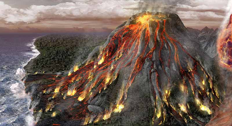
La Palma Volcano: Atlantic Ocean Mega-tsunami Theory
Mount Popocatepetl - Science, Pseudoscience, and Mythology
Mud
Mythology
Shield
Stratovolcano
Subglacial
Submarine
Supervolcano
UFOS - Mt. Popocatepetl
Yellowstone
Blogs:
The Narrative (2021-2022)
Santorini Thera Atlantis La Palma Volcanoes - Myths and End Time Memories (January 2022)
Volcanoes 2019: Science, Mythology, Pseudoscience
|